
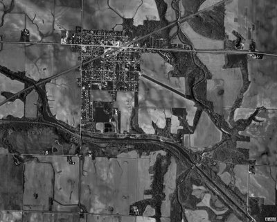
Today I ran across a satellite image of Wyanet on Microsoft's TerraServer and was THRILLED at the detail. Of course the map is a little older, at least older than 3 or 4 years, as the dry bridge over the railroad is still showing up on West Street (Wyanet/Walnut blacktop) - and that bridge has been removed, and "dead ends" made at the tracks, and Wyanet Walnut re-routed with a brand new bridge on the west edge of town. So, although the picture is older (further research shows it was taken on April 12th, 1998- that happens with satellite imagery) it is so so so detailed that I can zoom in and see the roof of my house, the property lines, the sidewalk in our front yard, and the street that I live on in great detail.
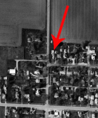
So it's pretty cool. Click on the Image to make it much larger.

No comments:
Post a Comment